China has confirmed a major investment in its military footprint in Djibouti, a small country perched next to the Bab el-Mandeb Strait, one of the world’s most strategic sea corridors. The headline is defense and trade protection, with reported spending topping $500 million.
The quieter story is environmental, because when this route gets tense, the planet pays a fuel bill.
It sounds abstract until ships start detouring. Longer voyages burn more bunker fuel, push up shipping costs, and add carbon emissions that don’t show up on any customs form. In other words, a base built to secure commerce can also influence climate outcomes, even if that was never the marketing pitch.
A narrow strait with a big carbon shadow
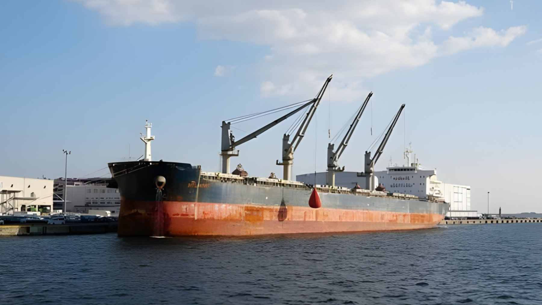
Bab el-Mandeb is only about 18 miles wide at its narrowest point, and tanker traffic gets funneled into two slim channels for inbound and outbound flows. That geographic pinch point matters because it links the Red Sea to the Gulf of Aden and the Arabian Sea, acting like a valve for energy shipments and broader trade.
Even a partial shift in traffic can be felt globally. U.S. Energy Information Administration data shows oil flows through Bab el-Mandeb averaged about 4.0 million barrels per day through August 2024, down from 8.7 million barrels per day in 2023, while flows around the Cape of Good Hope rose sharply over the same period.
Detours are not just inconvenient, they are dirtier. A December 2025 peer-reviewed study on Red Sea disruptions linked rerouting to a roughly 30% to 35% increase in carbon emissions from the added distance, and it also flagged spill risks when tankers or bulk carriers are attacked or sunk. That is where ecology and security collide fast.
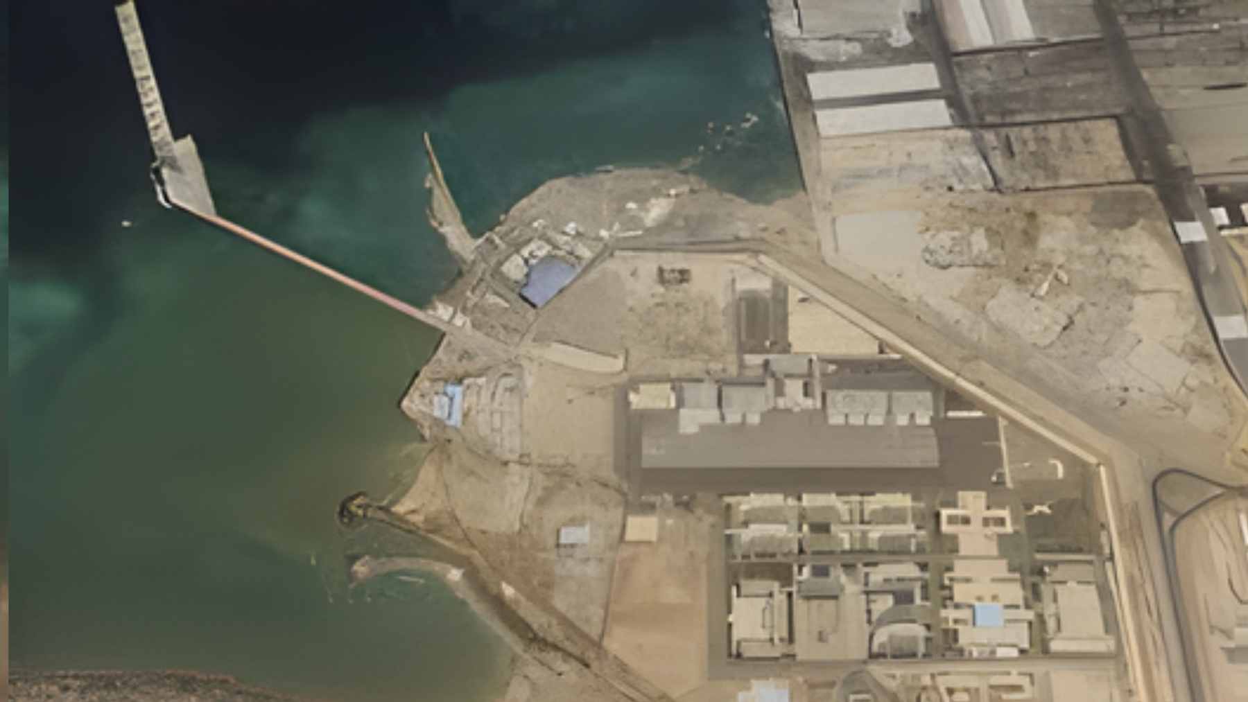
Why Djibouti keeps attracting flags
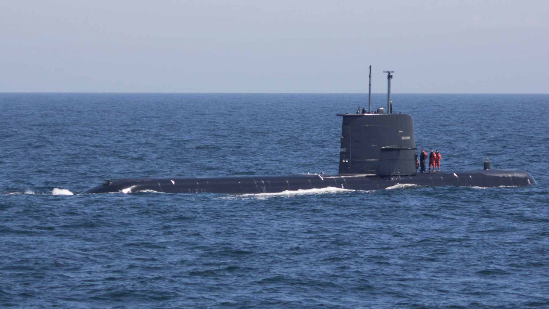
China’s facility in Djibouti is widely described as its first overseas military support base, and Chinese state media have said it was launched in 2017 to support missions including humanitarian assistance, peacekeeping, rescue tasks, and naval operations.
That move also fit a broader shift that analysts tracked years earlier, when China publicly acknowledged it was building its first overseas military facility in Djibouti, which is also home to the largest U.S. military installation in Africa.
Djibouti’s appeal is simple and stubborn. It sits next to Bab el-Mandeb, close to routes linking Europe, Asia, and the Middle East, and it has built an economy around ports and logistics. That’s why it has become a rare place where multiple major powers operate in close proximity, all with “protect the trade lanes” on their talking points.
The environmental angle is the part most briefings skip. If military presence lowers the odds of severe disruption, fewer ships may take the long way around Africa, which can mean fewer emissions from unnecessary extra miles.
But it also adds more high-tempo operations in a fragile maritime neighborhood, so the net impact is not automatically “green.”
Energy and water are the quiet strategic assets
Ports and bases run on electricity, fuel, and water, and Djibouti is not a place where those come cheaply.
A major example is Doraleh’s desalination expansion, backed by the European Investment Bank, which has already produced 6 million gallons of fresh water per day in phase one and targets roughly 12 million gallons per day in phase two, including a planned 12 MW solar plant to power desalination.
On the power side, Djibouti is trying to reduce reliance on expensive fossil generation with projects like the Ghoubet wind farm. Project backers have said the 60 MW facility boosts the country’s overall capacity by about 50% and could avert 280,000 tons of CO2 emissions annually.
This is where business, defense, and daily life overlap. When a coastal hub tries to keep the lights on and lower power costs, especially in hot summer months, cleaner generation and efficient cooling stop being “nice to have.” They become resilience infrastructure that any large tenant, military or commercial, ends up caring about.

Tech that watches ships can also watch pollution
Modern maritime security leans heavily on data. The EIA’s recent assessments of shifting oil flows in this region rely on commercial tanker tracking, which is the same broad toolset insurers, traders, and navies use to understand what is happening at sea in near real time.
That same visibility can be useful for the environment, too. Satellite imagery and vessel tracking can help responders spot suspicious behavior, and in some cases help identify where pollution is spreading and which ships are nearby. It is not perfect, but it is better than guessing from the shoreline.
The catch is that tech does not solve governance by itself. The 2025 study on Red Sea attacks argued that maritime security risks can create environmental harm alongside financial damage, and it emphasized the need for stronger organizational mechanisms to reduce those risks. In practical terms, that means better coordination and faster response, not only more sensors.
What businesses should keep in mind
If you are wondering how this reaches you, look at time and fuel. The EIA has estimated that diverting tankers around the Cape can add about 15 days compared with the Suez route, and it can nearly double voyage time on some routes from the Persian Gulf to Europe.
It also noted that daily fuel costs for some large gas carriers can run around $30,000 to $35,000 per day at average 2023 prices, which is the kind of expense that eventually shows up in freight rates.
UNCTAD’s modeling adds another layer. Its 2024 Review of Maritime Transport projected that global consumer price levels could rise by about 0.6% by around the end of 2025 due to the combined effects of Red Sea disruptions and Panama Canal constraints.
That is not just theory, because higher transport costs can ripple into everything from electronics to coffee.
So what should readers watch next? Not only who patrols a chokepoint, but how often ships are forced into longer routes and what that does to emissions and spill risk.
The study was published on Frontiers in Political Science.