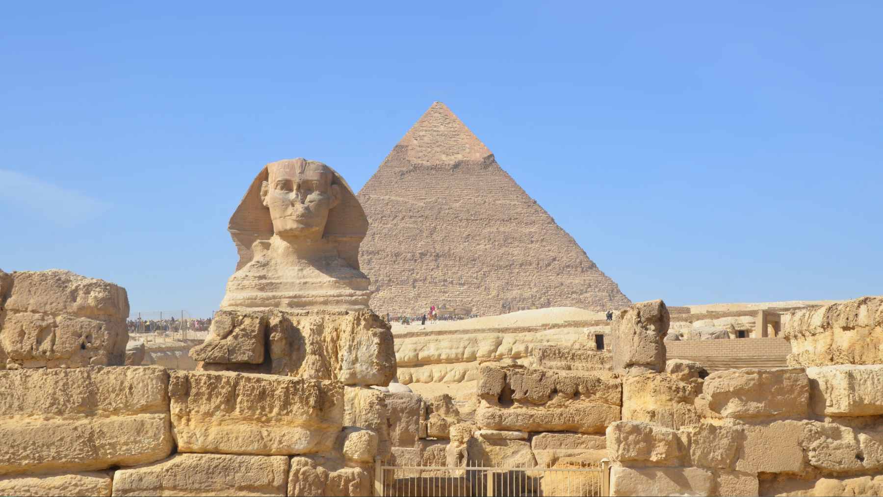
An Italian radar researcher has reignited one of archaeology’s biggest “what if” questions. In a recent interview on the Matt Beall Podcast, Filippo Biondi said satellite radar scans hint at a Sphinx-sized structure buried beneath a sand mound about 33 meters (108 feet) tall, and he put his confidence at “about 80%.”
Egyptologists are pushing back, and the argument is not just academic. Could a satellite really spot a statue under the sand without anyone lifting a shovel, especially at a UNESCO-listed site already dealing with groundwater issues, pollution, and the constant churn of visitors?
What was actually claimed
Biondi says his team traced geometric alignments between the pyramids and the known Great Sphinx, then mirrored those lines to flag a second location on the plateau. In that spot, he argues, radar anomalies sit under a compacted sand hill, alongside patterns he interprets as vertical shafts and horizontal passages.
He also points to the Dream Stele between the Sphinx’s paws, which some viewers say appears to depict two sphinx figures. Even the podcast description stays cautious, calling the target a “possibly” hidden monument rather than a confirmed discovery.
Why archaeologists are skeptical
So far, there is no excavation, no released dataset for independent review, and no peer-reviewed paper validating a second Sphinx. Fact-check reporting that summarizes the claims stresses that, for now, this is speculation until Egyptian authorities allow fieldwork and the results can be verified.
The blowback is also colored by earlier viral claims about a supposed “underground city” beneath the pyramids, which experts told AFP did not hold up. In that 2025 dispute, Egyptologist Zahi Hawass called the claims “completely wrong,” and radar expert Lawrence Conyers argued that satellite radar pulses cannot map massive structures deep into dense geology.
Radar satellites are powerful, but they have limits underground
Synthetic aperture radar, or SAR, is an active sensor that sends out energy and measures what bounces back, which is why it can image at night and through clouds. NASA notes SAR is widely used for environmental monitoring, and Italy’s COSMO-SkyMed system is designed to support emergency management during floods, earthquakes, and wildfires.
But SAR is not an X-ray machine, and its subsurface sensitivity is often shallow and heavily influenced by moisture and surface conditions.
A technical overview of SAR in archaeology notes why deserts are a natural testing ground and why systems such as COSMO-SkyMed have limited penetration, and Biondi’s arXiv preprint itself acknowledges “poor” penetration in solid bodies while proposing a workaround based on tiny “micro-movements” linked to background seismic waves.
Giza is an environmental site, too
The Giza Plateau is part of UNESCO’s “Memphis and its Necropolis” listing, covering the pyramids, the Great Sphinx, and thousands of tombs across a fragile desert landscape. Any new trenching or drilling would happen in a space where tourism, traffic, and windblown dust are everyday realities.
Research in npj Heritage Science warns that rising groundwater, linked to water infiltration and urbanization around the plateau, threatens the pyramids and the Sphinx and can sit just a few meters below the surface in places.
An environmental monitoring program at the Sphinx also found that swings in temperature and humidity contribute to surface deterioration, with pollution and dust adding to the burden.

The business and defense angle hiding in the sand
COSMO-SkyMed Second Generation is explicitly dual-use, owned by the Italian Space Agency and the Italian Ministry of Defense, and built and operated by a network of aerospace firms.
In a January 2026 press release, Thales Alenia Space said the program has acquired about 4.3 million images since 2007, and the data is marketed for uses that range from emergency mapping to monitoring natural resources and ecosystems.
SpaceX also launched a COSMO-SkyMed Second Generation satellite into low Earth orbit in early 2026, underlining how commercial launch has become part of this security and sustainability pipeline.
When the same satellites can help map wildfires and also fuel headline-grabbing claims about hidden monuments, governance becomes the hard part.
What to watch next
Biondi says he is seeking permission to do on-site geological work at the identified mound, which would be the first real checkpoint for the theory. Until that happens, all anyone has is an interpretation of remote sensing signals, plus a lot of internet momentum.
For readers, the filter is simple: look for a transparent, peer-reviewed publication, released methods or data, and a plan that protects Giza’s fragile environment before any digging starts.
The official statement was published on Apple Podcasts.